
Primary and secondary references for the Trans-Atlantic Human Trade in
Guayama, Puerto Rico
Annotated Bibliography
Disclaimer:
The content of these documents provides details of the Middle Passage, specific vessels transporting captive Africans, the arrival of these people, and the ubiquity of slavery. The following resources may include racist language as well as references to violence, dehumanization, and the enslavement of Africans. The language contained in the following documents may be upsetting to some readers.
Table of Contents
Books and Literature



Maps
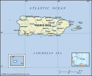
Map of Puerto Rico | Britannica
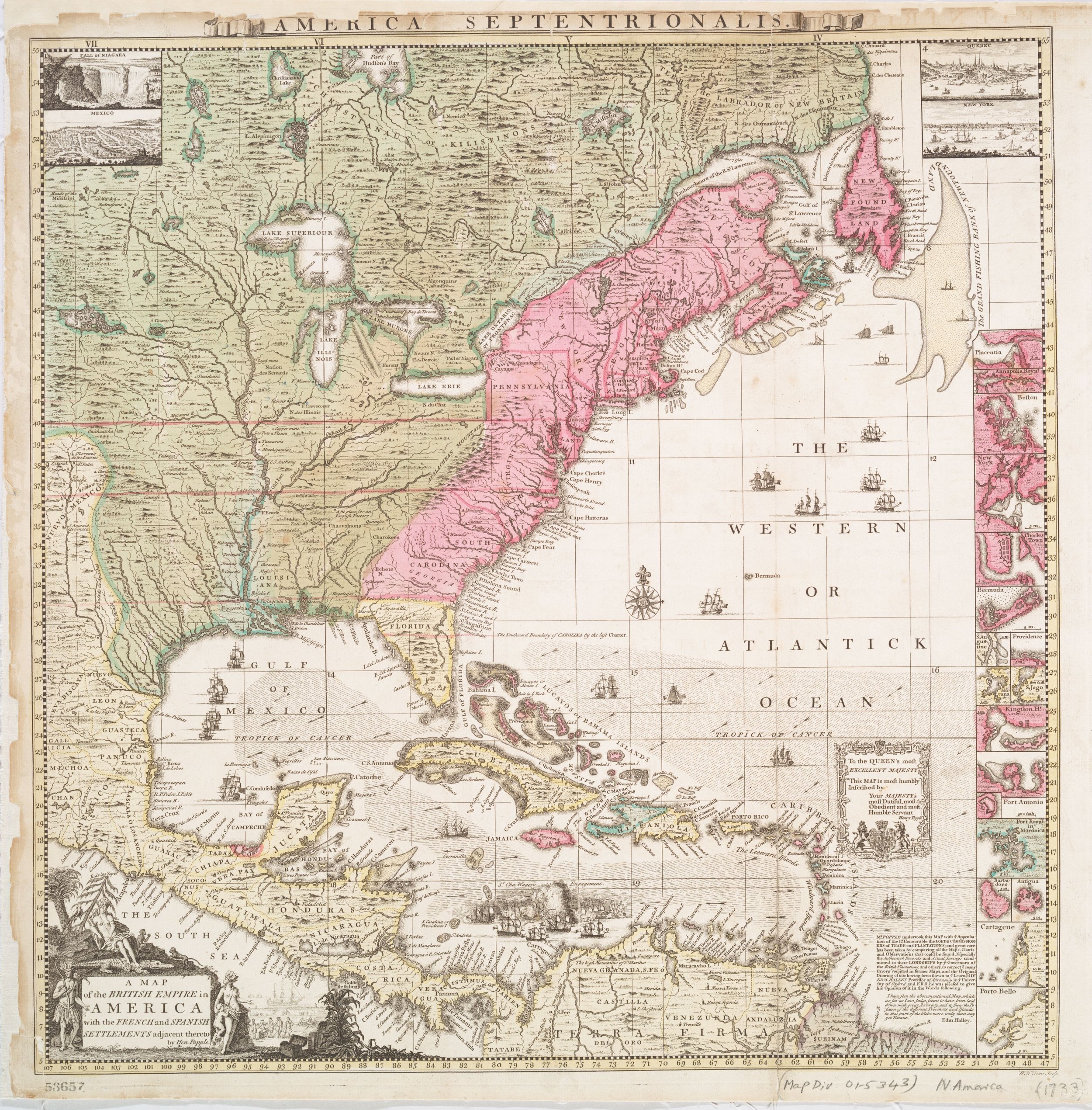
A map of the British Empire in America with the French and Spanish settlements adjacent thereto, c. 1733 | New York Public Library
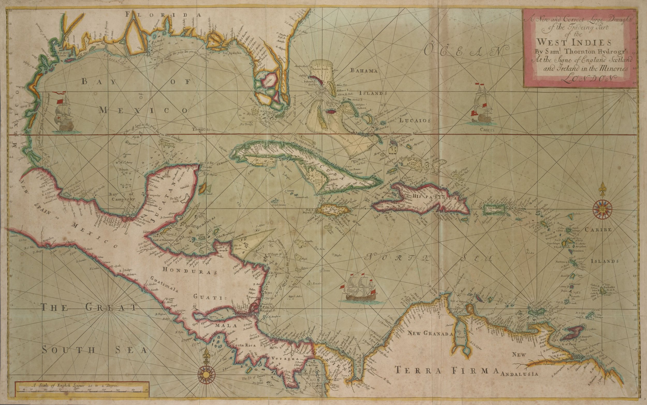
A new and correct large draught of the trading part of the West Indies, 1702-1707 | New York Public Library
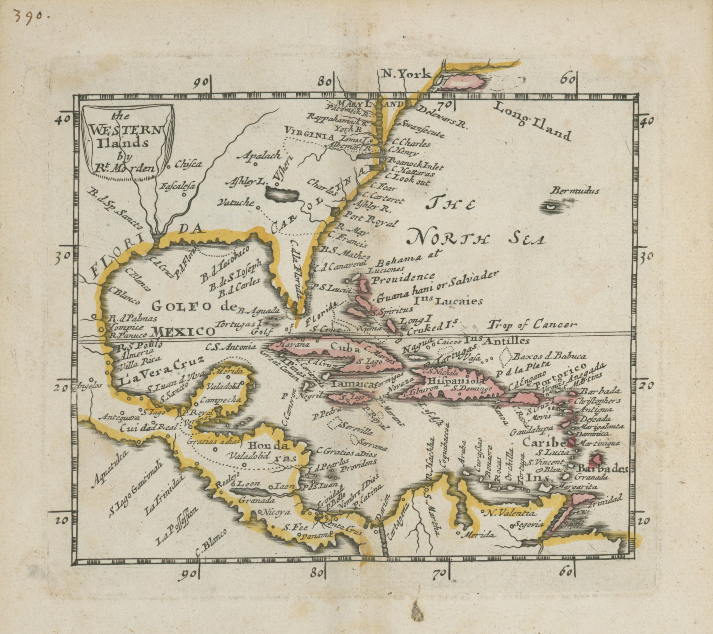
Map of the Western Ilands, 1680 | New York Public Library
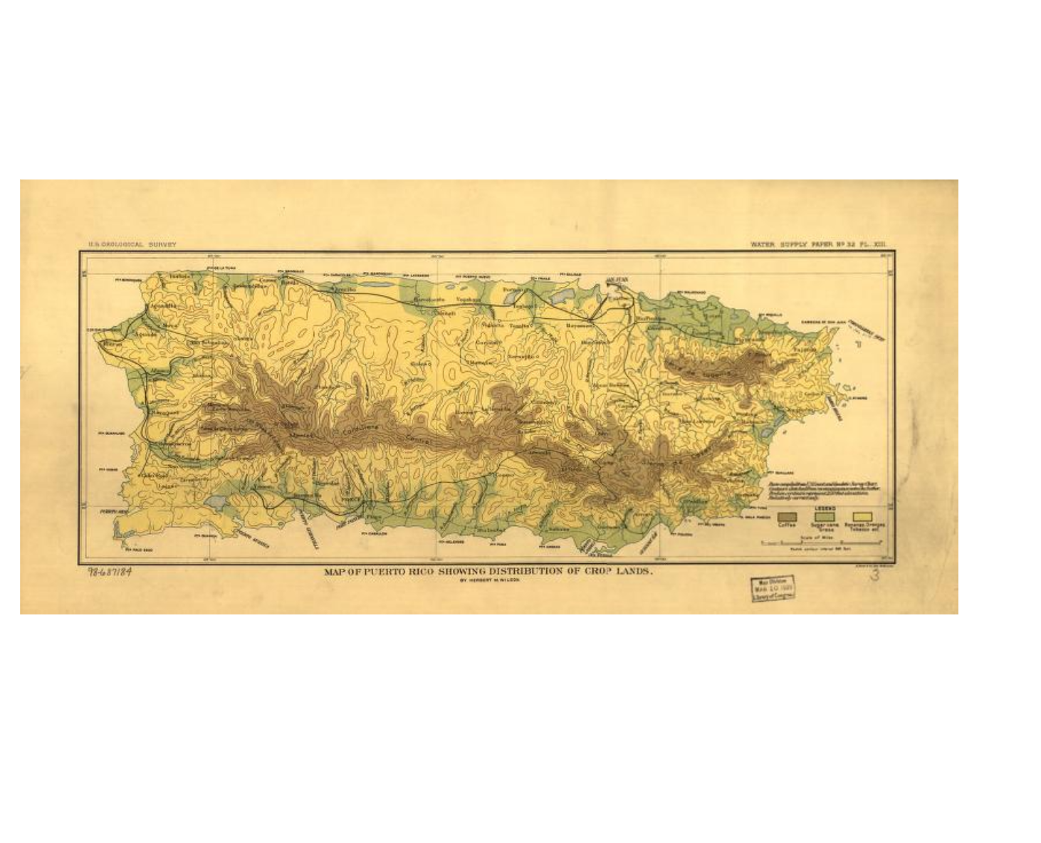
Map of Puerto Rico showing distribution of crop lands, c. 1899 | Library of Congress
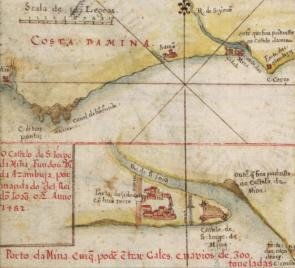
Detail of a map of Costa Damina
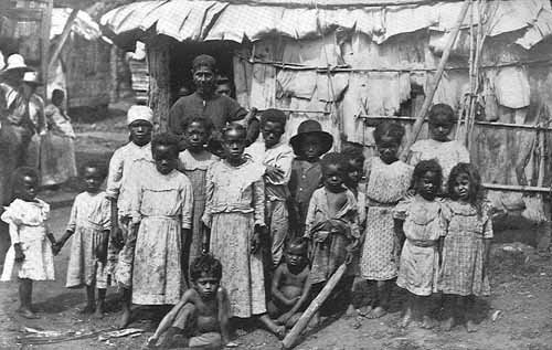
Abolition of Slavery in Puerto Rico | Library of Congress